Not Photographing the Planetary Alignment

There was a lot of news in the past week about the Planetary Parade. This article by Preston Dyches on the NASA science site says: “Planet parade” isn’t a technical term in astronomy, and “planetary alignment” can refer to several different phenomena. As the planets of our solar system orbit the Sun, they occasionally line up in space in events called oppositions and conjunctions.

A half and hour before sunset (6:02 PST) on February 27, 2025, I drove out to Rodeo Beach, California, hoping to make a photograph of the planetary alignment. It was cloudy and the wind was probably 15 mph (6.7 m/s). Though the winds were offshore, the cloud cover was moving very slowly.

Parade of Planets, Rodeo Beach, California

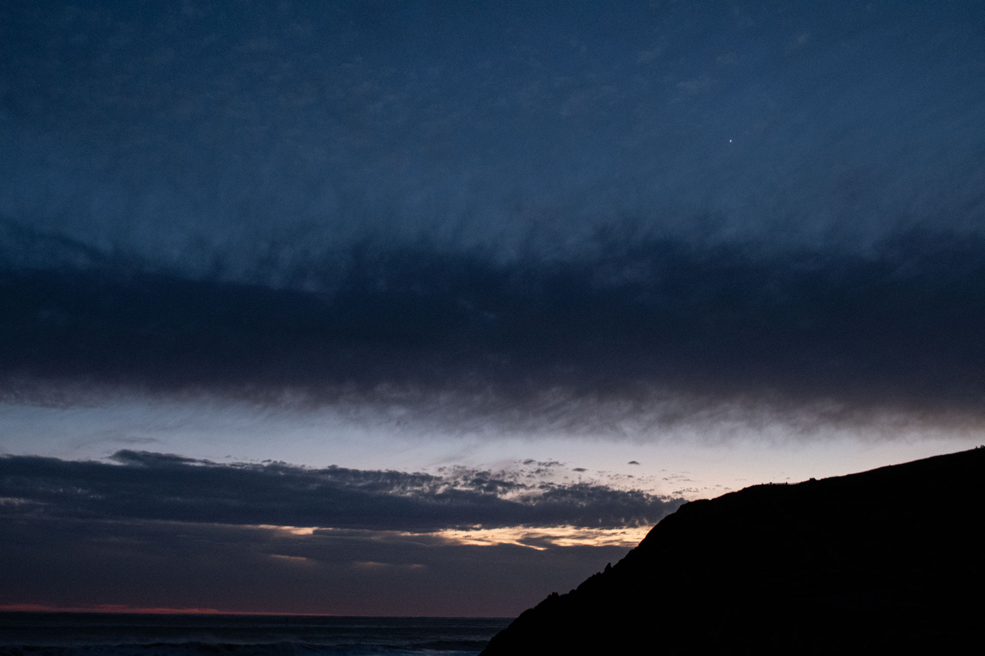
After an hour and a half, it became clear the weather wouldn’t improve soon. It seemed it wouldn’t clear up for a couple of hours. I took the above photo with Venus visible in the West. Mars was visible (out of the frame) almost 90° overhead. I thought about how Ansel Adams had made commitments to getting a great photograph, considered the cool temperature and the wind, then I decided to leave to go out for dinner.

Stellarium screen capture of the southwestern night sky from Rodeo Beacn, California, on February 27, 2025 at 7:27 PM PDT

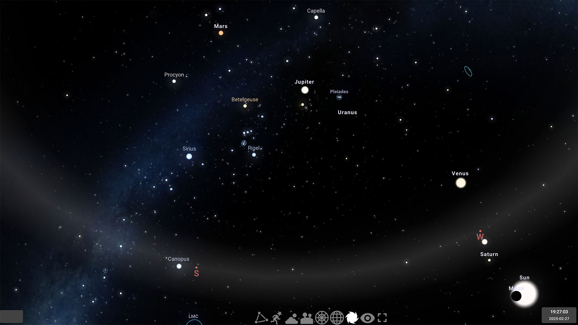
(Above) Stellarium screen capture of the southwestern night sky from Rodeo Beach, California, on February 27, 2025 at 7:27 PM PDT. Maybe it would have looked like this IRL, had it been clear.

Conzelman Road, Marin Headlands

Conzelman Road, Marin Headlands (GoPro HERO3+)

To do a little extra climbing on my short bike ride to Battery Townsley at Rodeo Beach, after I ride across the Golden Gate Bridge, I’ll ride down Alexander Avenue then south on East Road. East Road winds it way through Fort Baker past Cavallo Point Lodge and the Bay Area Discovery Museum to Center Road and Moore Road to the beginning of Conzelman Road. There, it’s about 15 ft above sea level near the Moore Road Pier, pretty much under the north end of the Golden Gate Bridge.

As Conzelman climbs up the headlands, it passes several scenic turnouts where all those generic Golden Gate Bridge photos (with the San Francisco in the background) are taken. The road climbs up Hawk Hill for almost 770 feet in a little less than 2.5 miles to the Marin Headlands Vista Point.

If you venture down the hill past the Vista Point parking lot, you’ll be rewarded with this view of the Marin Headlands, the Pacific Ocean beyond the Golden Gate and a brief but very steep 18% drop in the road.